Save
Download
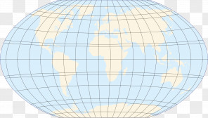
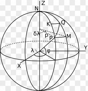
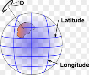
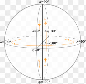
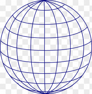
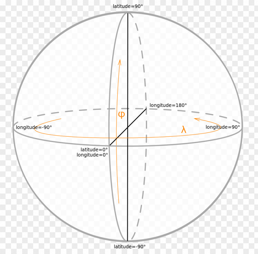
Globe Map Projection Latitude Longitude Geographic Coordinate System
for free. It is licensed for Personal Use. TheGlobe Map Projection Latitude Longitude Geographic Coordinate System transparent background image
is 112.93 KB, has a resolution of 1040x1024 pixels and was uploaded on April 5, 2019 @ 3:19 am by user: larawoff. It is filed under the tags: longitude, sphere, diagram, symmetry, system. Click the blue button at the top to freely download: Globe Map Projection Latitude Longitude Geographic Coordinate System png.Globe Map Projection Latitude Longitude Geographic Coordinate System PNG
Users also downloaded these images