Save
Download
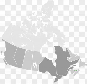
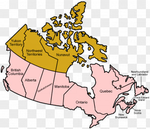
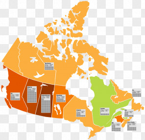
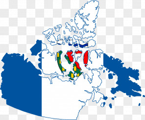
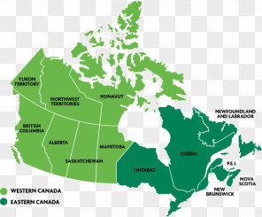
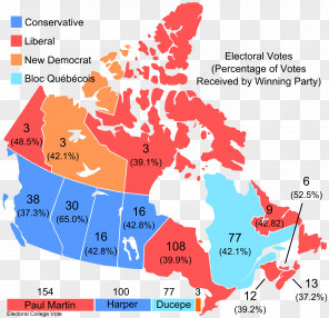
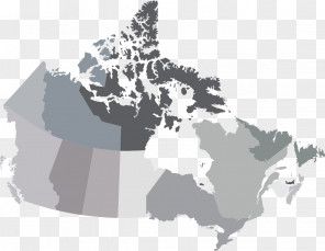
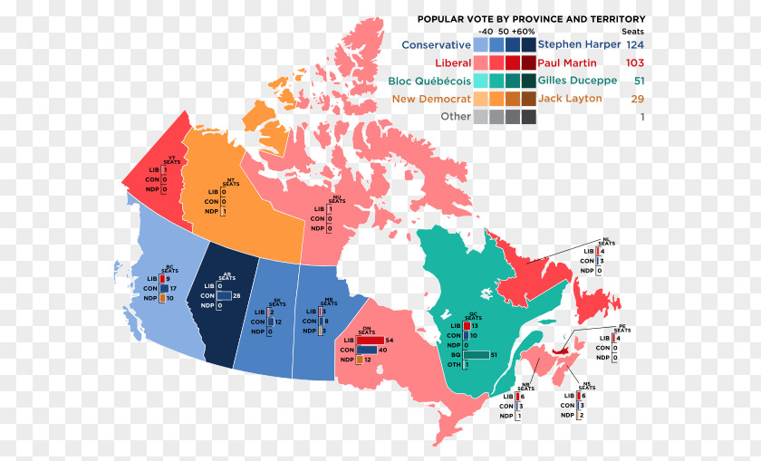
Canada Provinces And Territories Of United States Vector Map
for free. It is licensed for Personal Use. TheCanada Provinces And Territories Of United States Vector Map transparent background image
is 124.78 KB, has a resolution of 600x509 pixels and was uploaded on August 5, 2021 @ 10:14 pm by user: gustain. It is filed under the tags: provinces and territories of canada, diagram, canada, mapa polityczna, world. Click the blue button at the top to freely download: Canada Provinces And Territories Of United States Vector Map png.Canada Provinces And Territories Of United States Vector Map PNG
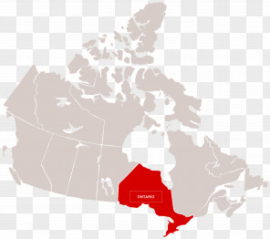
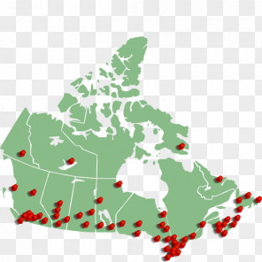
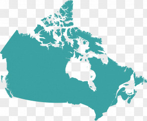
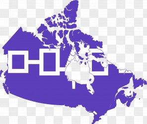
Users also downloaded these images